US Highway 101

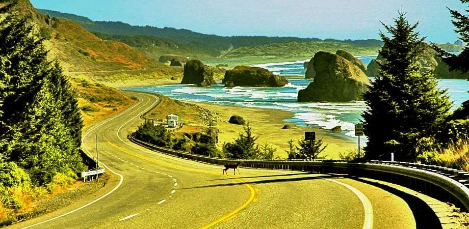
101 goes by many names.
Many vacationers to California know her as the Pacific Highway. SoCal residents add a little more status, referring to her as “The 101”. Where she winds through the some of the world’s largest and oldest trees, in Northern Cali, she goes by the pseudonym Redwood Highway. 70’s folk rockers America made her famous when they sung of the free wind blowin’ through her hair via the stretch known as Ventura Highway. She’s El Camino Real in the south and the Olympic Highway as she wraps around the Olympic National Park in Washington state.
Countless hitchhikers have known her simply as “home”.
Like the host of rock n’ rollers who’ve sung about her over the years, she’s a rule breaker. Technically, US 101 begins in a little city just off of Puget Sound by the name of Tumwater, Washington. From there, its southerly route begins by immediately heading north and then east, looping the Olympic Peninsula in all of its misty, bald eagled charm. Even her very name, US Highway 101, goes against the traditional numbering system that governs where highways should fall on the map. Like many of her fellow US Highways, she’s been replaced by Interstates in places, and so she now, for reasons of map reading and legalism, terminates in Los Angeles, in some form or another she keeps on trucking the whole way south to San Diego. Hop the border and onto Mexico 1 if you want to keep heading south, all the way down the Baja California Peninsula. Or take a ferry into British Columbia and join up with Canada’s Trans-Canada Highway and cross back over the continent via our northern neighbor.
101 passes through two National Parks—Olympic and Redwood, both of which are temperate rainforests—through all three western states, generally hugging the coastline all the way down as it meanders through American legends like San Francisco and Hollywood, as well as every last mile of Oregon’s North Coast. Short of the now defunct, fabled Route 66, it’s without a doubt America’s best known road and perhaps the single most gorgeous stretch of mostly two lanes your wheels can roll across.
While it would actually be pretty difficult to move along any given portion of 101 and not have your eyes widened by the scenery abounding, while visiting the North Coast we highly recommend beginning from Manzanita and heading north, all the way to Long Island, Washington, if you’ve got a day or so to spare. Since much of the trip, particularly once you get north of Cannon Beach, is flat, this is a great stretch to do on a bicycle, but of course no one would blame you if you let your motorized automobile do the leg work while you kicked back and enjoyed the view. We could while away several more pages with our best attempt at describing what this stretch of the country looks like, but instead we’ll leave you with this collection of photographs.


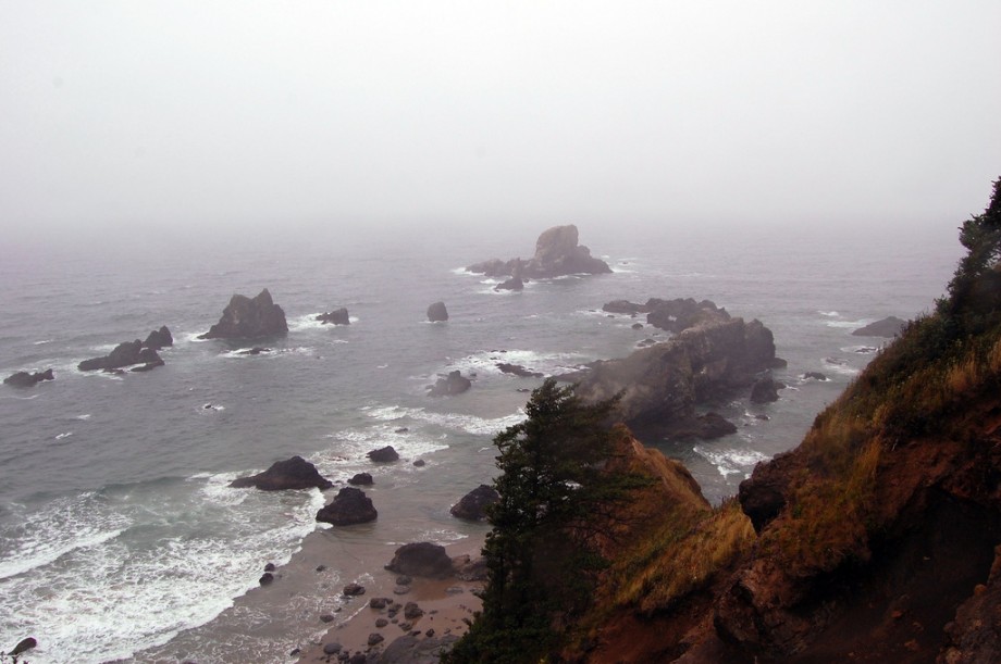


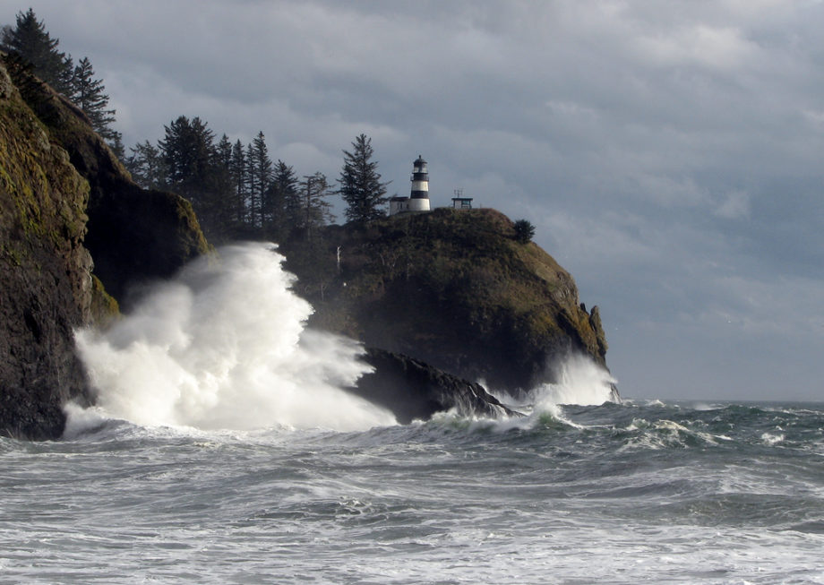


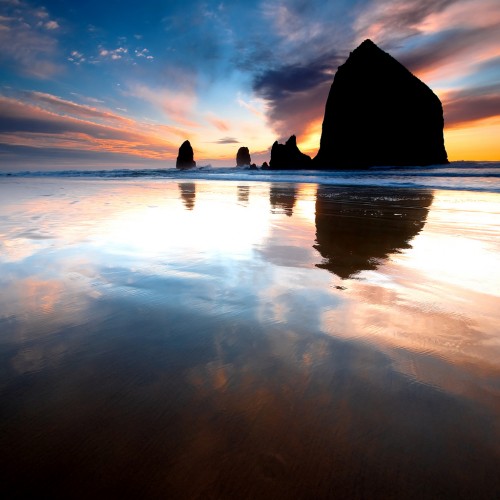


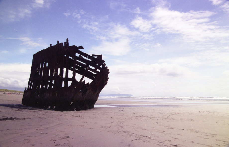

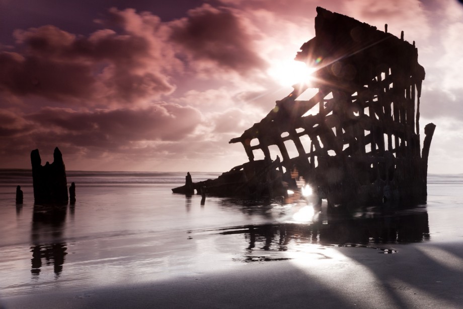


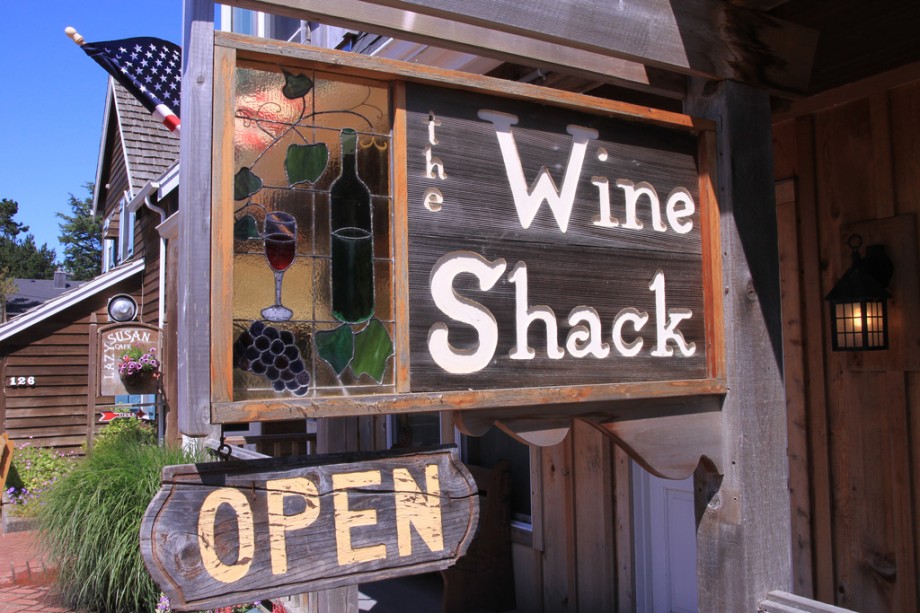


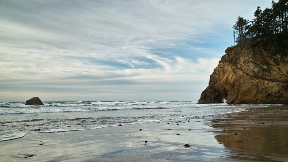


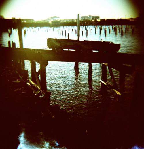


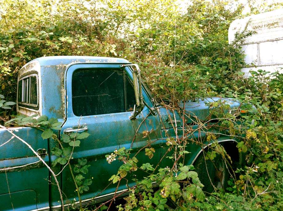


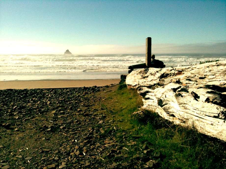


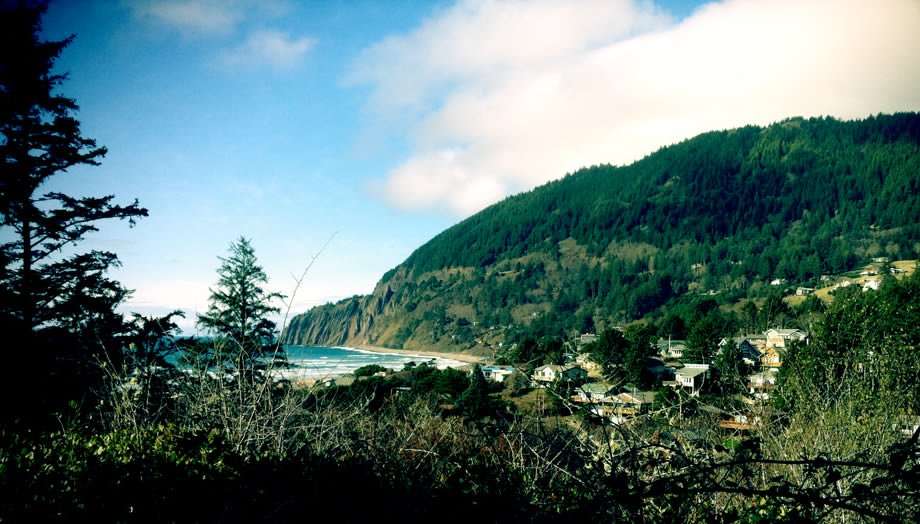


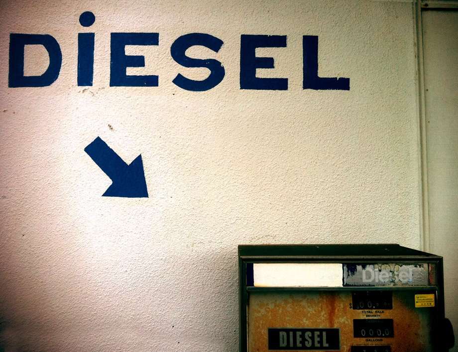


If you made it this far, we have better news than even these photographs were able to portray…that being that even with this somewhat very large collection of photos, the amount to see and do in this three county stretch of Oregon would leave one taking pictures for years before they ever managed to see it all. So hop on your bike, get in your car, or stick out your thumb and get yourself up and down that 101.